


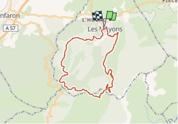
Les Mayons - Sommet de l'Argentière

Vox463
User

Length
17.4 km

Max alt
641 m

Uphill gradient
570 m
Km-Effort
25 km

Min alt
143 m

Downhill gradient
570 m
Boucle
Yes
Creation date :
2025-02-23 09:46:10.091
Updated on :
2025-03-10 15:48:50.668
5h41
Difficulty : Very difficult

FREE GPS app for hiking
 SityTrail
IGN / Geographical institutes
SityTrail Plus
The world is yours!
About
Trail Walking of 17.4 km to be discovered at Provence-Alpes-Côte d'Azur, Var, Les Mayons. This trail is proposed by Vox463.
Positioning
Country:
France
Region :
Provence-Alpes-Côte d'Azur
Department/Province :
Var
Municipality :
Les Mayons
Location:
Unknown
Start:(Dec)
Start:(UTM)
285813 ; 4799062 (32T) N.
Comments